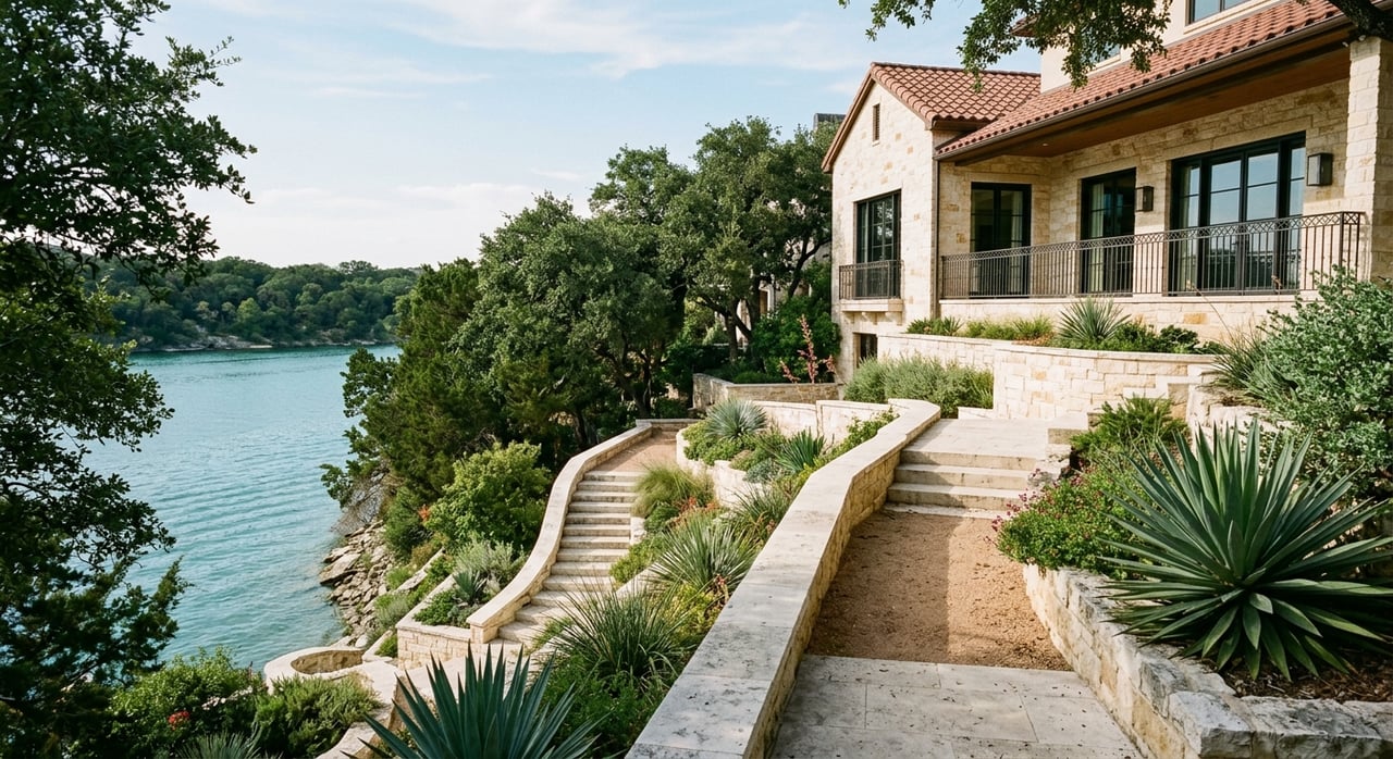
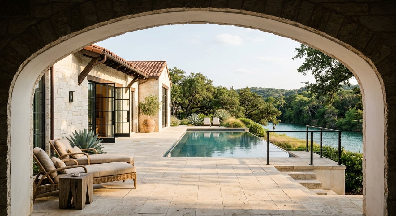
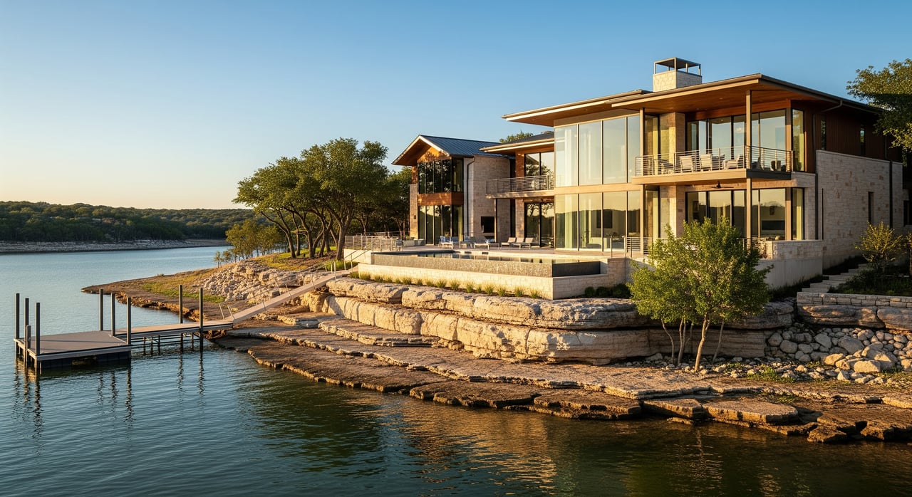
There's a rock in the middle of Lake Travis that locals have called Sometimes Island for years, not because it comes and goes with the tide, but because it comes and goes with the drought. When the lake is low, the rock breaks the surface and people use it as a kind of shorthand: things are bad enough that Sometimes Island is showing again. For most of the last seven years, it never stopped showing. In mid-July 2026, Lake Travis topped its 681-foot full pool mark for the first time since 2019, after repeated rounds of heavy Hill Country rain sent floodwater into the Highland Lakes. Sometimes Island went under. So did a lot of the routines residents around Lakeway, Volente, Point Venture, and Spicewood had quietly settled into over seven dry years.
This is not a story about a pretty lake. It's a story about a map that changed faster than most people's habits did.
The Three Months That Reset The Lake
In late April 2026, Lake Travis sat at 635.6 feet, about 43 percent of capacity, according to LCRA data collected April 23. At that level, most of the lake's public boat ramps were closed, with only Pace Bend-Tournament Point still usable. By mid-July, the lake had topped its 681-foot full mark. As of August 16, Water Data for Texas puts the reservoir at 98.2 percent full, a slight ease off the peak but nowhere close to where it sat four months earlier.
| Date | Lake Level | What It Meant |
|---|---|---|
| April 23, 2026 | 635.6 ft (~43% full) | Most public ramps closed; only Pace Bend-Tournament Point open |
| Mid-July 2026 | Topped 681 ft (full pool) | First full pool since 2019 |
| August 16, 2026 | 98.2% full | Easing slightly, still near historic high for the year |
Do the subtraction and the lake rose somewhere around 45 feet in under three months. That's not a gradual return to normal. That's a reset, and it happened on a timeline most people weren't tracking closely enough to notice until the shoreline looked wrong.
The Ramp Question Got More Complicated, Not Less
Here's the part that catches people off guard. You'd think a fuller lake means every ramp problem solves itself, and mostly it does. But as of a July 27 update on ramp status, the one ramp that survived the entire drought, Pace Bend-Tournament Point, was listed as closed while nearly everything else on the lake was open. The ramp that used to be the reliable fallback is, for the moment, not the one to count on. If you defaulted to Pace Bend for three summers because it was the only sure thing, this is the year to actually check before you load the trailer instead of assuming.
During the height of the rise, Mansfield Dam's floodgates were open and the City of Austin closed Lake Austin, Lady Bird Lake, and the Colorado River below the dam to all watercraft, including kayaks and paddleboards, while flood operations were underway. That closure was tied to the flood event itself rather than the lake's day to day level, but it's a reminder that downstream restrictions can appear fast whenever Mansfield Dam is actively releasing.
Which Coves Are Worth Reconsidering
A fuller lake doesn't just restore ramps. It restores geography. Coves, channels, and launch points that were mudflats a year ago are open water again, which means the crowding patterns you learned during the drought don't necessarily hold. Devil's Cove has been the lake's known party cove for years and that hasn't changed. What has changed is that the overflow options around it are viable again in a way they weren't at low water.
Starnes Island has functioned as the release valve for tour boat traffic since the city of Jonestown directed tour operators there back in 2011, and that arrangement still holds. If your idea of a good Saturday is quieter water than either Devil's Cove or Starnes offers, this is the summer to try the coves you gave up on in 2022. Just don't assume the depth chart in your head is still accurate. A cove that was three feet deep two years ago might be twelve feet deep now, and the reverse is also true in spots where sediment shifted during the rise.
The Dockside Rotation Actually Changed This Year
Some of the lake's dining anchors haven't moved and aren't going to. The Oasis is still perched roughly 450 feet above the water with its stack of dining decks, and Oasis Texas Brewing Co. up the hill remains the shorter-wait option for the same sunset view. Neither of those needed a full lake to stay relevant.
What did need a full lake, or at least benefits from one, is the list of boat-accessible spots that were marginal at 660 feet and are fully reachable now:
- Beachside Billy's
- Sundancer Grill on Stewart Road
- Stumpy's on the Lake at Sandy Creek Marina
- The Lighthouse above Briarcliff Marina
And the rotation itself has genuinely changed in the last six months, independent of water levels. Canyon Grille at Rough Hollow reopened on April 14, 2026, after a brief closure. Cupprimo at the Lake opened its second location in Lakeway in late January under owner Amy Closson, with a daily menu built around quiche, coffee, and seven cupcake flavors, useful to know if you've got kids on the boat who need a payoff at the end of the day. La Cabana Bar & Grill, a longtime local Tex-Mex spot, reopened at a new Spicewood location on January 31, 2026, which matters if you're launching from that end of the lake.
None of that is tied to the water level. It's just what happened this year, and it's worth updating your mental list alongside the ramp and cove changes.
What The Rise Brought Back Under
A rise this size resets the shoreline, and it also resets what's underneath it. Travis County Parks has flagged this directly: with the lake up, there's more unseen debris than there was at low water, including submerged trees, grasses, rocks, and sediment that shifted during the flood operations. Some park areas may still be closed while they finish draining out standing floodwater. It's the kind of detail that's easy to miss in the excitement of a full lake, but it's the difference between a good afternoon and a bad one if you're running a boat through a cove you haven't used since before the drought.
There's one quiet upside unique to Travis worth knowing. Downstream, Lake Austin's hydrilla problem is kept in check by sterile grass carp the City of Austin stocks to graze the invasive weed down, and big rises can push those carp downstream and thin the population that controls it. Lake Travis doesn't have that fight. More water here is just more water, without the tradeoff Austin is managing.
The Actual Takeaway
The lake didn't just get fuller. It got less predictable in the ways that matter for a normal Saturday. The ramp that was reliable for three years is closed. The cove you wrote off in 2022 might be the quiet spot you've been looking for. The restaurant you used to skip because getting there by water was a hassle is an easy trip now. None of that shows up on a water level chart. It shows up when you actually go out and the lake doesn't match the one you got used to.
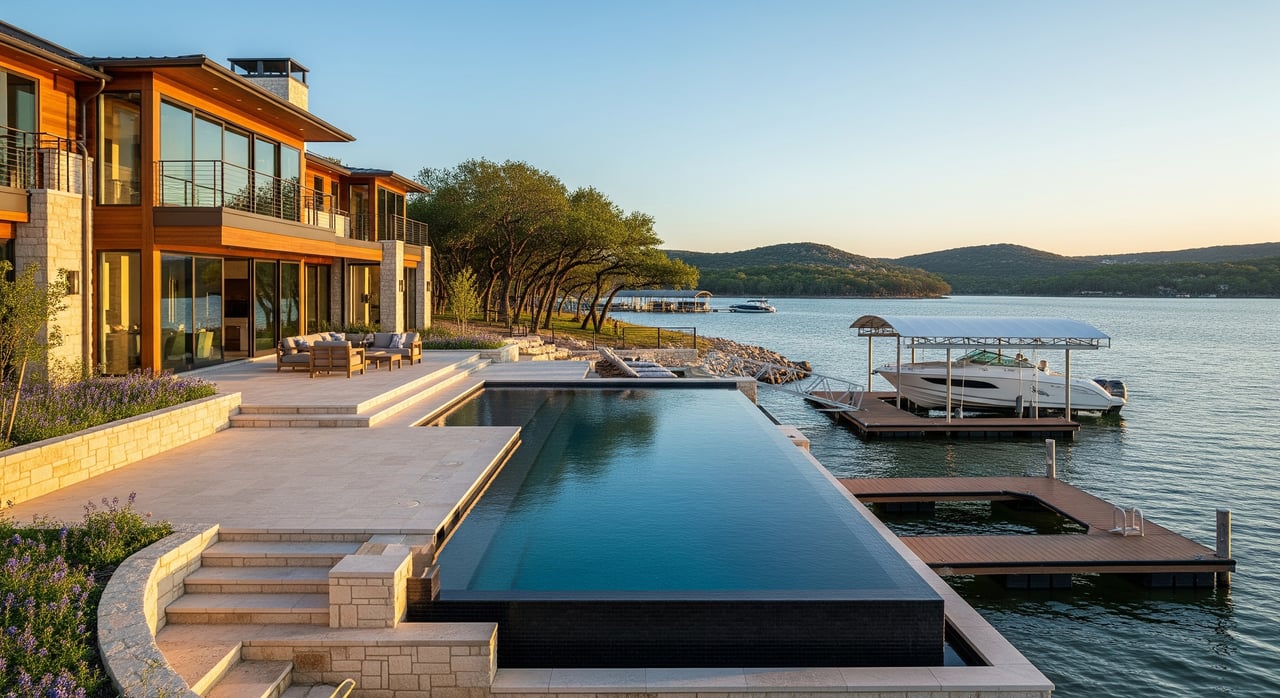
If you're weighing what any of this means for a property on the water, not just a Saturday on it, that's a longer conversation, and it's one worth having with someone who tracks this shoreline as closely as the boat ramps. Steve Dedear works the Lake Travis corridor from Lakeway to Spicewood and can walk you through what a full-pool year actually means for a specific dock, a specific cove, or a specific piece of shoreline. Explore My Properties to see what's currently available around the lake.