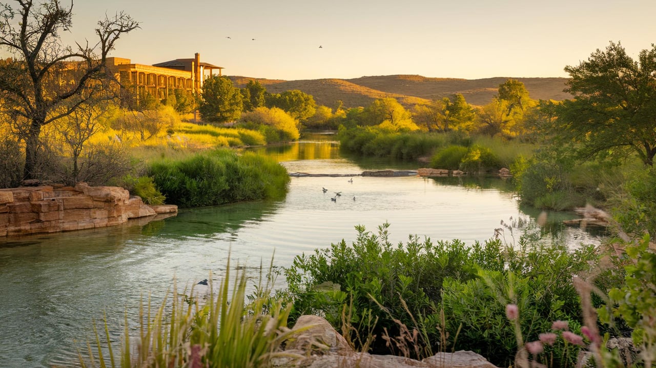
If Barton Creek was carrying water at Lost Creek Boulevard on the morning of November 2, why was the creekbed under the Loop 360 bridge dry a few miles downstream?
The gauges answer the first part. At 5:45 a.m. CST on November 2, 2026, the U.S. Geological Survey station at Lost Creek Boulevard recorded 1.21 cubic feet per second. At 5:00 a.m. the station at Loop 360 recorded 0.00. Between the two gauges the water sinks into the rock, and dye-tracing work shows where it goes from there. Much of the creek above Loop 360 feeds springs on the Colorado River, not the pool at Zilker.
What The Gauges Read On November 2
Two agencies run monitors on this stretch. Their readings that morning match.
| Station | Agency | Reading | Time |
|---|---|---|---|
| Barton Creek at Lost Creek Blvd. | USGS | 1.21 cfs | Nov. 2, 2026, 5:45 a.m. CST |
| Barton Creek at SH 71 near Oak Hill | LCRA Hydromet | 1 cfs | Nov. 2, 2026, 6:56 a.m. |
| Barton Creek at Loop 360 | USGS | 0.00 cfs | Nov. 2, 2026, 5:00 a.m. CST |
| Barton Creek at Loop 360 | LCRA Hydromet | 0 cfs | Nov. 2, 2026, 6:41 a.m. |
| Barton Springs at Austin | USGS | 19.0 cfs | Nov. 2, 2026, 5:00 a.m. CST |
USGS marks these readings provisional, and LCRA says its data are retrieved automatically and may be revised. The City of Austin's Greenbelt page notes that creek levels change quickly with rain and sends visitors to these same USGS and LCRA monitors. Before you head out after a storm, check the live numbers. This snapshot will not hold.
The last row is the one that matters. Upstream, the creek is down to a trickle. Downstream, Barton Springs is still putting out 19 cubic feet per second. Those two facts look like they contradict each other until you know what sits between them.
The Stretch Above 360 Swallows The First 30 Cubic Feet
Barton Creek crosses the Edwards Aquifer recharge zone on its way through the Greenbelt. The Barton Springs/Edwards Aquifer Conservation District describes the Edwards as a faulted, fractured, porous karst aquifer, where caves, sinkholes and fractures take in runoff and water can move through quickly.
The City of Austin's 1997 Barton Creek Watershed Model put numbers on how much water the creek loses between the Lost Creek and Loop 360 gauges:
- Under about 20 to 30 cfs at Lost Creek: all of the flow is lost to recharge before Loop 360.
- 30 to 130 cfs: recharge holds steady at about 30 cfs.
- Above 130 cfs: recharge runs at about 23 percent of the Lost Creek flow.
The model counts only recharge between those two stations. Even so, it explains this fall's dry creekbed. A creek carrying around 1 cfs at Lost Creek is far under the 20 to 30 cfs threshold, so by the model's estimate every drop of it should disappear into the rock before 360. That matches what the gauges read.
Where That Water Comes Back Up
From 1996 through 2000, the conservation district and the City of Austin ran a groundwater tracing study. They released dye into 17 natural recharge features and one well across the Barton Springs segment of the aquifer, then watched for it at springs and wells.
According to the study's executive summary, parts of Barton Creek's upper recharge zone, from the Mount Bonnell Fault down to the Loop 360 crossing, send their water to Cold Springs and other springs on the south bank of the Colorado River rather than to Barton Springs. Researchers named that path the Cold Springs Flow Route, which drains a groundwater basin of about 11.8 square miles. Recharge in the rest of the Barton and Williamson Creek recharge zones mostly comes out of the Main outlet and Upper Barton Springs, through what the study calls the Sunset Valley basin.
So the creek you can see from the 360 trailhead is a dry streambed sitting on top of two separate plumbing systems. Some of what sinks upstream of the bridge comes out along the river. The springs that fill the pool draw from other basins, including creeks farther south. The study found that Slaughter, Bear, Little Bear and Onion Creek recharge also flows to Barton Springs' Main, Eliza and Old Mill outlets.
The trip underground is slow right now. The study measured groundwater moving about 0.6 to 1 mile per day across the aquifer when Barton Springs flow was below 35 cfs, and 4 to 7 miles per day along the main flow paths above that level. On November 2, Barton Springs was running at 19 cfs, well inside the slow range.
The Pool Is Running Low But Steady
The springs are under strain too. The conservation district has been in Stage 3 Exceptional Drought since October 1, 2025. On its drought status page, last updated October 30, 2026, it lists a 10-day average Barton Springs flow of 15 cfs. The tracing study found that Upper Barton Springs goes dry once the other three outlets fall to a combined 40 cfs. Total flow today is less than half that.
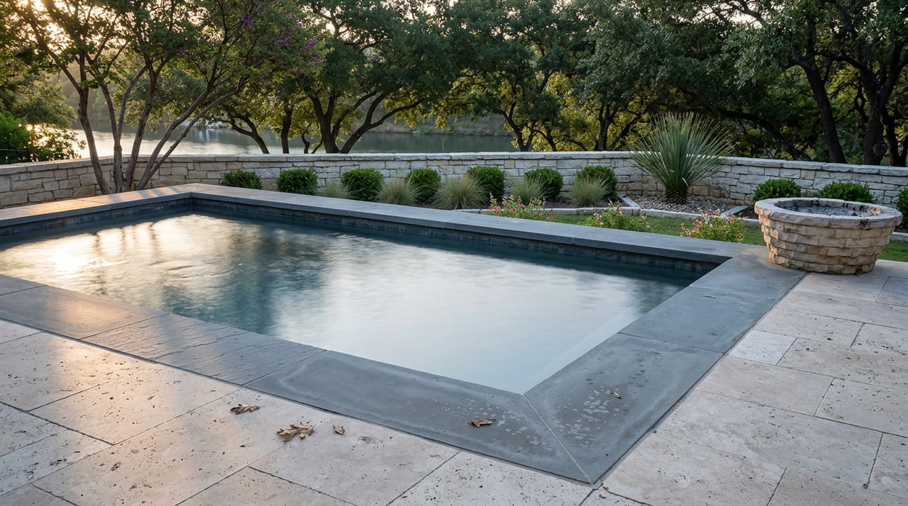
Barton Springs Pool is still open, and it is the reliable water in this part of Austin this month. The city describes the three-acre pool as fed by underground springs averaging 68 to 70 degrees. Posted hours are:
- Most days: 5 a.m. to 10 p.m., with swim-at-your-own-risk from 5 to 8 a.m.
- Thursdays: swim-at-your-own-risk from 5 to 9 a.m., closed for cleaning from 9 a.m. to 7 p.m., then guarded swimming from 7 to 10 p.m.
The city's pool fee page says entry fees at Barton Springs and the other regional pools are generally charged from AISD spring break through the end of October, and season passes expire October 31.
There is also a construction project at the pool, and the city says it won't affect swimming. In an August 25 notice, Austin Parks and Recreation laid out a phased plan for the 1917 stone retaining wall along the pool's eastern edge. The plan calls for removing 37 trees, mostly hackberry, in September because their roots are weakening the wall, then a historic-preservation engineer's assessment in fall and winter 2026, then masonry repairs starting in early 2027. The city says the pool will keep normal hours for the whole project.
The Joan Means Khabele Bathhouse is a longer story. KUT reported on October 8 that work began in February 2024 with completion first expected by mid-2025, and that the central rotunda was still closed. The city expected substantial completion about a month later, then roughly another month for exhibits and staffing, which puts December as the earliest reopening. Cash and kiosk purchases are handled at the Zilker Cafe building, and entry is east of the bathhouse until construction wraps up.
What A Dry Greenbelt Is Good For
A dry creek changes what the Greenbelt is for. The city counts more than 12 miles of trail, with a 7.5-mile main route between trailheads. These are the closest access points for Barton Creek residents:
- 360 Trailhead, 3753 S. Capital of Texas Hwy. NB: dedicated free lot, composting restrooms at the trailhead.
- Trail's End/Camp Craft Rd., 1712 Camp Craft Rd.: paid street parking 8 a.m. to 8 p.m., two compost restrooms nearby, access to the Hill of Life.
- Gaines Park/MoPac, 3918 S. MoPac Expy. SVRD SB: limited free street parking, no restrooms, access to Twin Falls.
- Spyglass/Barton Skwy., 1601 Spyglass Dr.: street parking, a composting restroom about 0.07 miles in.
- Gus Fruh/Barton Hills Dr., 2632 Barton Hills Dr.: limited free street parking, no restrooms.
The limestone is the main draw when the water is gone. KUT's 2026 climbing guide names Seismic Wall and Gus Fruh among the area's popular climbing spots, with hundreds of bouldering, sport, top-rope and some traditional routes across the Greenbelt and Bull Creek. The Texas Climbers Coalition works with Austin Parks and Recreation to maintain climbing access, hardware and trails there.
Austin Ridge Riders describes the Greenbelt as eight miles of trail with limestone cliffs and a seasonal creek. City guidance asks cyclists to yield to pedestrians, ride single file and call out passes. It also warns that the rough, uneven terrain is no place for road, cruiser or commuter bikes.
Getting To The Zilker End In December
The Greenbelt's downstream trailhead at 2212 William Barton Dr. sits inside Zilker Park, and the holiday season changes access there. In its October 27 update, the city said the western Great Lawn reopened October 31 and stays open through the holidays, with parking in the Stratford Drive lot. Lou Neff Road stays closed for the season, and the outdoor volleyball courts are open through November 16. Barton Springs Pool, the Ann and Roy Butler Hike-and-Bike Trail and the Barton Creek Greenbelt all remain open.
The rest of the lawn is turning into the Austin Trail of Lights, which runs December 10 through 23 from 7 to 10 p.m. General admission is free December 10 and 11 and December 13 through 17. Admission is $8 for ages 12 and up on December 12 and December 18 through 23, and shuttles from Toney Burger Activity Center run on those paid nights. For an early swim or a run from the Zilker trailhead that month, the Stratford lot is the entrance that stays open.
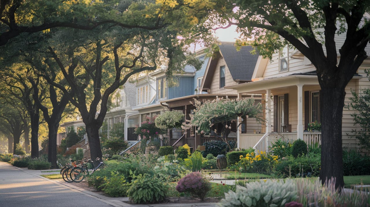
Knowing which coves hold water, which trailheads have parking, and which way the creek drains underground is part of knowing west Austin. That kind of on-the-ground knowledge is what Steve Dedear brings to every client looking at homes near the Greenbelt, Barton Creek and the Lake Travis corridor. When you're ready to see what's available close to the trails, Explore My Properties.